


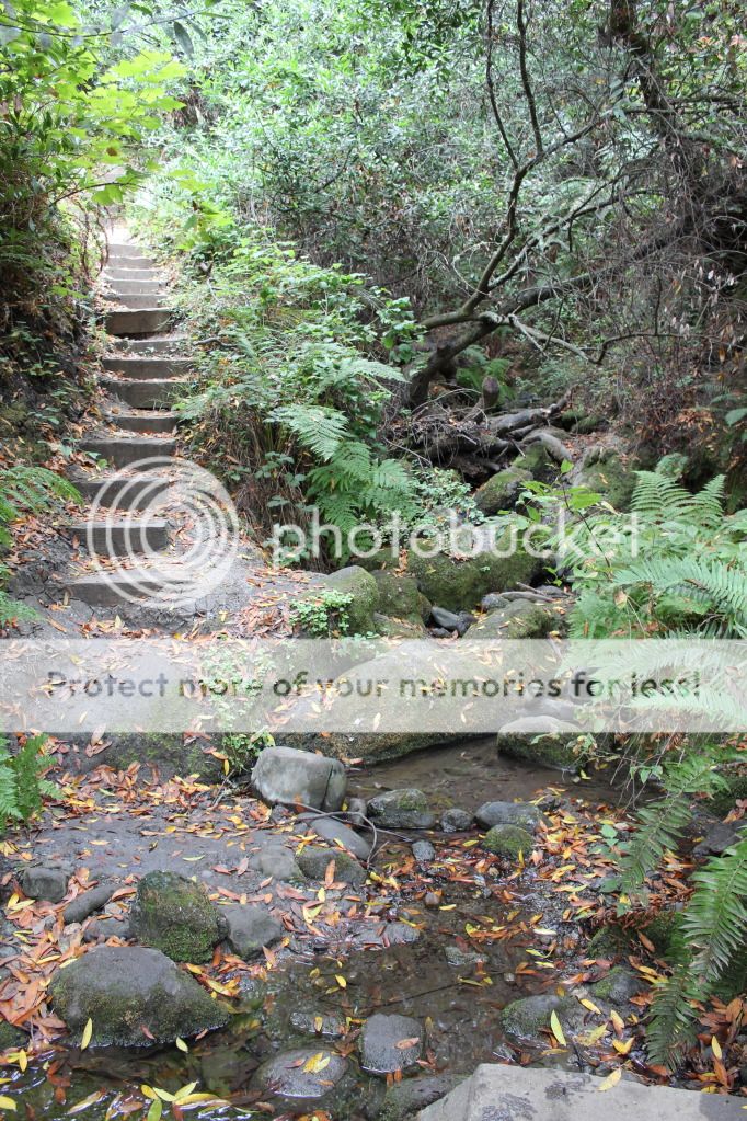
The creek at the bottom..
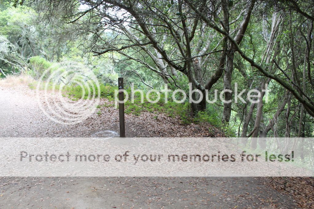
Trail: Meadows Canyon Trail - Loop Road - Jewel Lake Trail - Sylvan Trail - Wildcat Peak Trail - Laurel Canyon Trail - Bay Area Ridge Trail - Nimitz Way
Total Distance: 7.5 miles
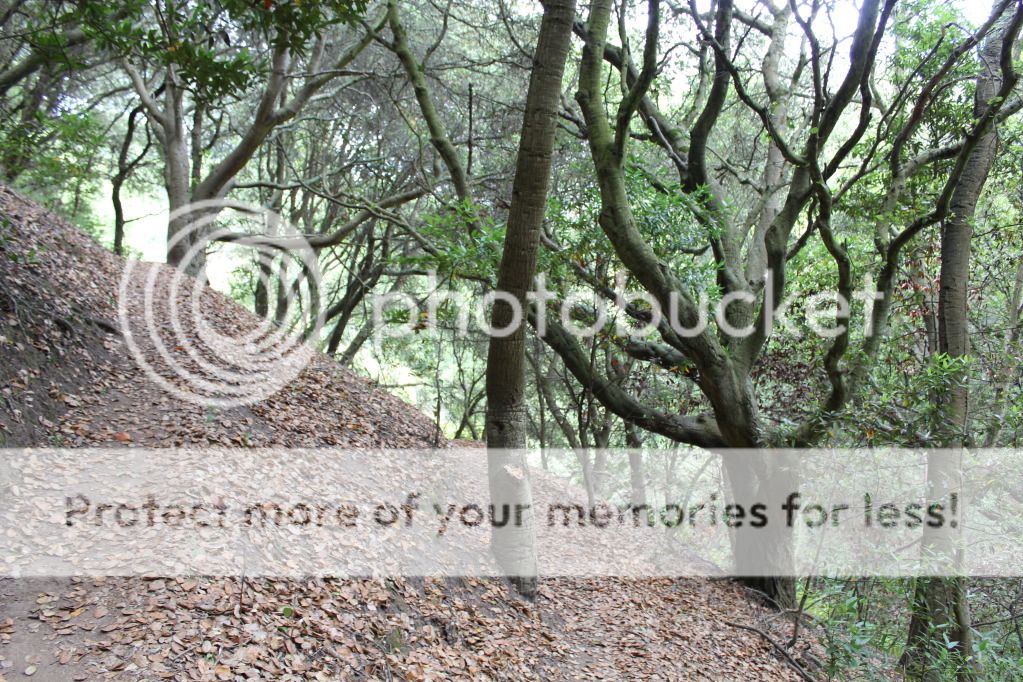
Next, Going Up the Laurel Canyon Trail...
Big thanks to East Bay Regional Park District and Bay Area Hiker
~~ CK
No comments:
Post a Comment