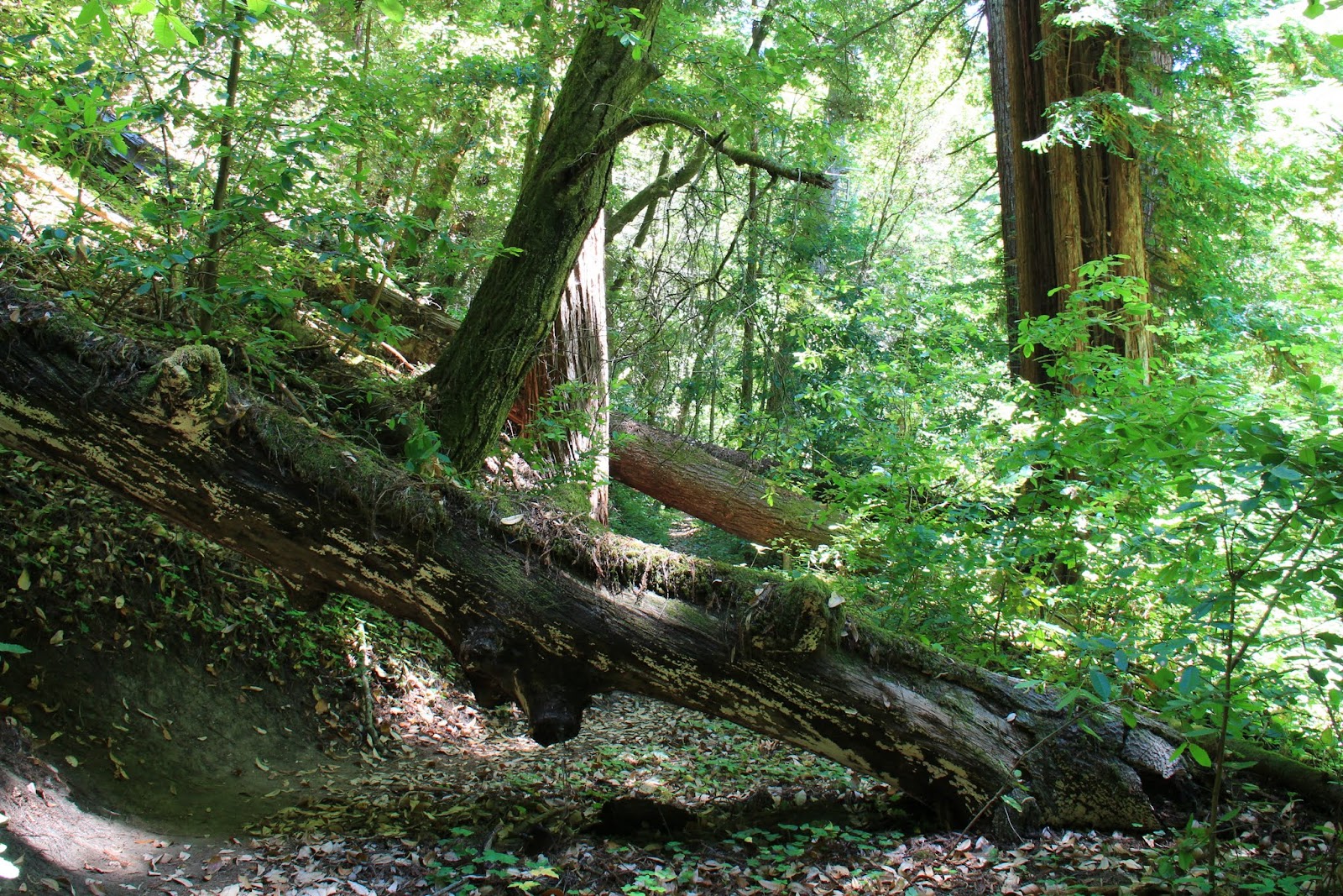
This shot deserves to be on its own page...
Here's a script from USGS:
On October 17, 1989, at 5:04:15 p.m. (P.d.t.), a magnitude 6.9 (moment magnitude; surface-wave magnitude, 7.1) earthquake severely shook the San Francisco and Monterey Bay regions. The epicenter was located at 37.04° N. latitude, 121.88° W. longitude near Loma Prieta peak in the Santa Cruz Mountains, approximately 14 km (9 mi) northeast of Santa Cruz and 96 km (60 mi) south-southeast of San Francisco. The earthquake occurred when the crustal rocks comprising the Pacific and North American Plates abruptly slipped as much as 2 meters (7 ft) along their common boundary-the San Andreas fault system. The rupture initiated at a depth of 18 km (11 mi) and extended 35 km (22 mi) along the fault, but it did not break the surface of the Earth .
Read More
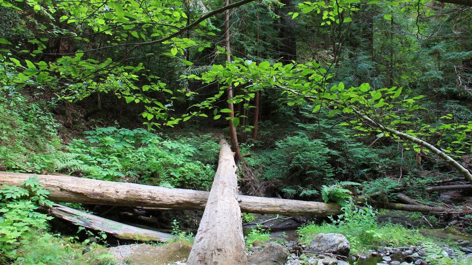
Trail: Trailhead - Aptos Creek Fire Road - Loma Prieta Grade - Mill Pond Trail - Aptos Creek Fire Road to Bottom of Incline - Aptos Creek Trail - To Five Finger Falls and Back - (Loop Back) - Trailhead
Distance: 11 miles
Big thanks to
California Parks and Recreation
Support our local parks!
Find trails around San Francisco Bay Area bay area
Remember to bring the
Ten Essentials for Day Hiking
~~ CK