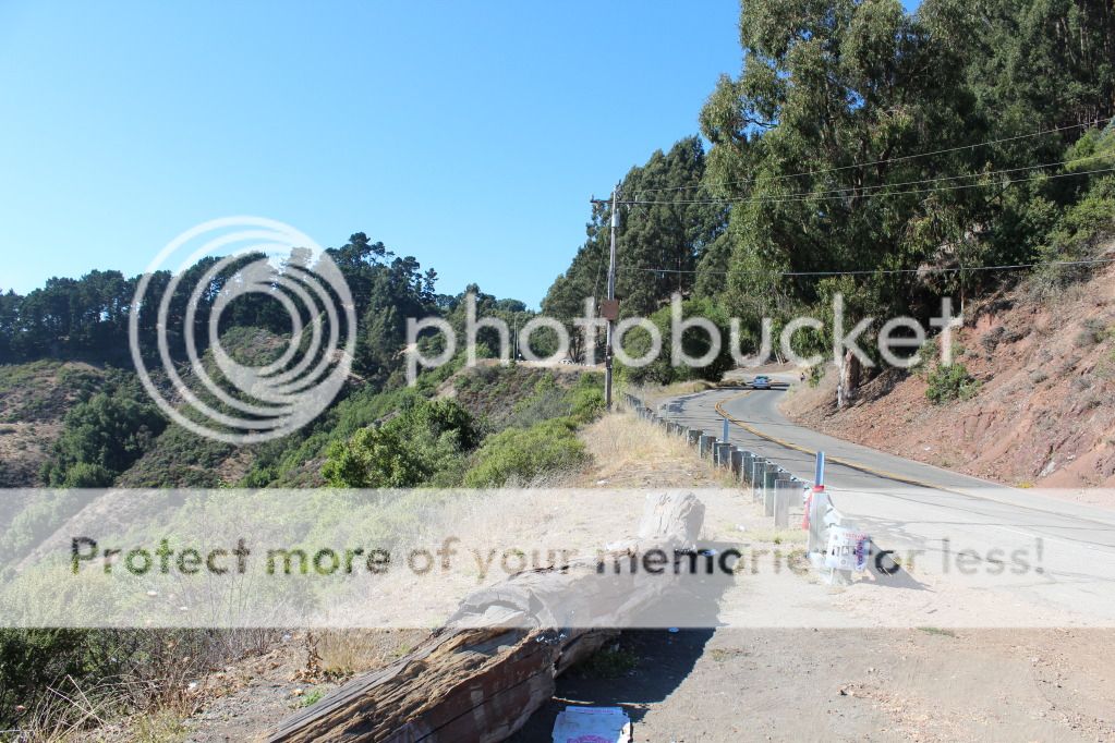
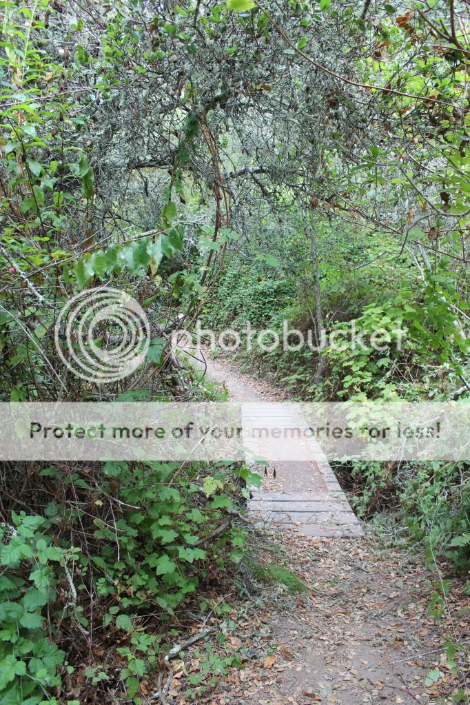
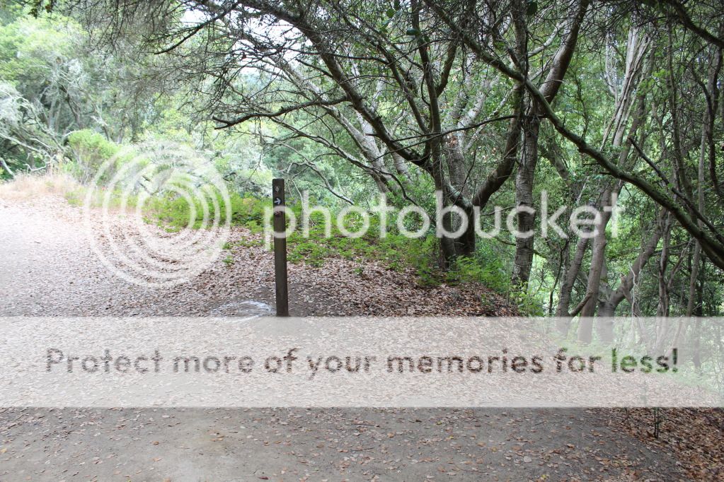
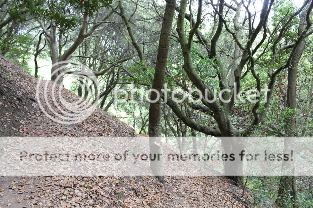
Laurel Canyon Trail is a peak descend with a creek at the bottom and a peak ascend going back up on the other side of the creek. The trail curves through the cliff.
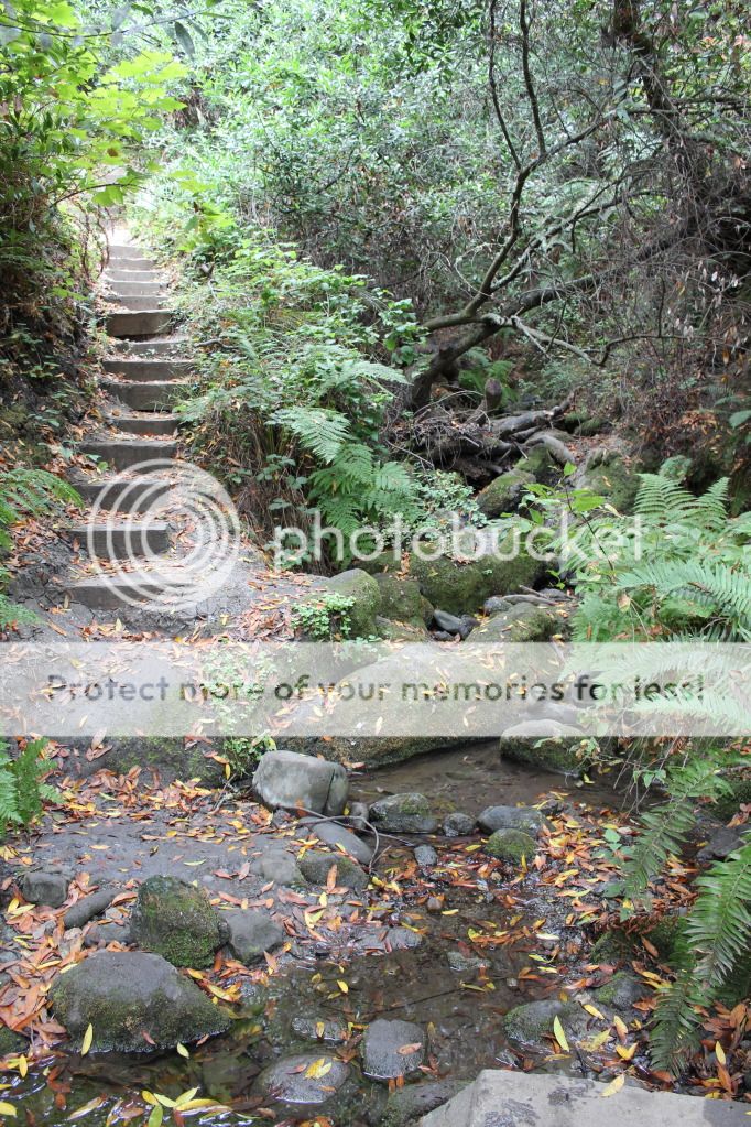
The creek at the bottom..
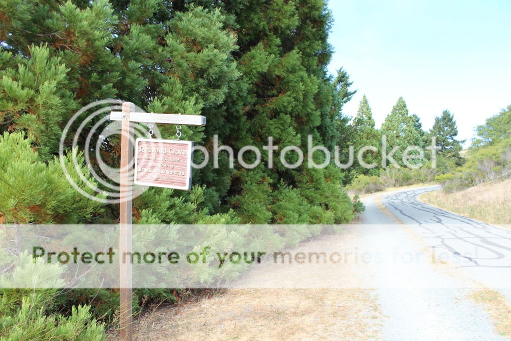
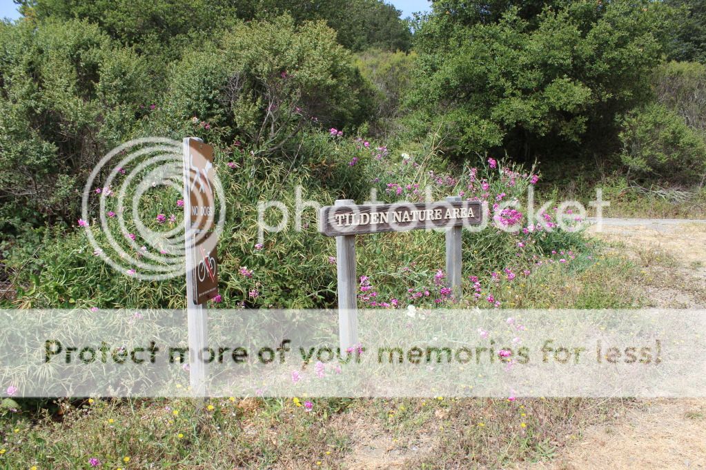
Trail: Meadows Canyon Trail - Loop Road - Jewel Lake Trail - Sylvan Trail - Wildcat Peak Trail - Laurel Canyon Trail - Bay Area Ridge Trail - Nimitz Way