Showing posts with label Uvas County Park. Show all posts

Saturday, December 12, 2015

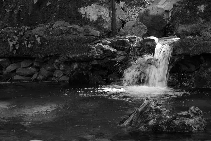
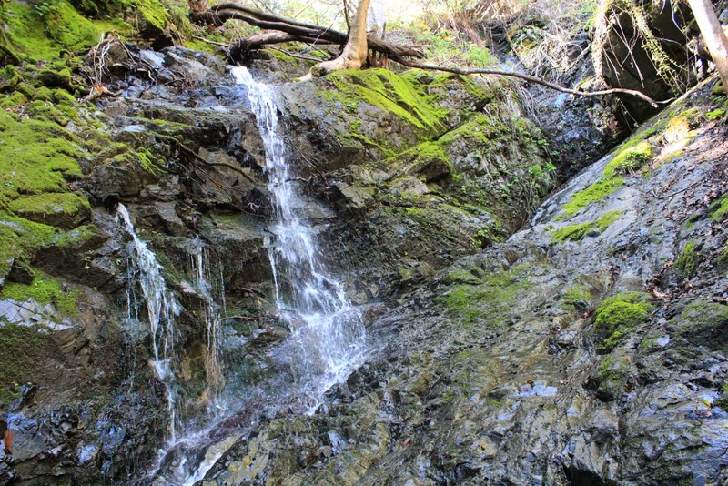
Uvas County Creek - The Creek and The Mini-Falls


Trail: Trailhead - To Waterfall Loop Trail - Waterfall Loop Trail - To Black Rock Falls - To Upper Falls - To Basin Falls - To Knobcone Point - Contour Trail - Alec Canyon to Triple Falls - To Old Logging Camp - Alec Canyon to Trailhead - Trailhead

Distance: 8 miles

Big thanks to Santa Clara County Parks

Support our local parks!

Find trails around San Francisco Bay Area bay area

Remember to bring the Ten Essentials for Day Hiking


~~ CK

Uvas County Creek - Trailhead

This hike is all about the Creek and the mini-water falls along in it...

About the park...


Welcome to Uvas Canyon County Park. This lushly wooded park of 1,133 acres, is nestled in upper Uvas Canyon on the eastern side of the Santa Cruz Mountains. This mountain park offers hiking, camping and picnicking opportunities throughout most of the year. Enjoy your visit today and return often to experience the many features of Uvas Canyon County Park.

Uvas Canyon County Park is located at the end of Croy Road in Uvas Canyon. From Highway 101, take Bernal Road west. Turn left on Santa Teresa Boulevard. Travel south three miles and turn right onto Bailey Avenue. Follow Bailey Road 2.3 miles to McKean Road. Turn left onto McKean Road (McKean Road becomes Uvas Road 2.2 miles south of Bailey Road). From Bailey Road travel 6 miles south on McKean/Uvas Road and turn right onto Croy Road. Continue 4.4 miles on Croy Road, through Sveadal, to reach the Park entrance. Sveadal is a private resort belonging to the Swedish American Patriotic League. Please respect their privacy and drive slowly as you pass through Sveadal.


If you're going...


From the day use parking lot, climb the steps towards the restroom, pass the amphitheater and look for this sign...


Trail: Trailhead - To Waterfall Loop Trail - Waterfall Loop Trail - To Black Rock Falls - To Upper Falls - To Basin Falls - To Knobcone Point - Contour Trail - Alec Canyon to Triple Falls - To Old Logging Camp - Alec Canyon to Trailhead - Trailhead

Distance: ~6 miles

Big thanks to Santa Clara County Parks

Support our local parks!

Find trails around San Francisco Bay Area bay area

Remember to bring the Ten Essentials for Day Hiking


~~ CK


Saturday, March 9, 2013

Uvas County Park - Old Dam


Trail: Alec Canyon Trail - Triple Falls - Contour Trail - Swanson Creek - Upper Falls - Basin Falls - Black Rock Falls - Waterfall Loop Trail - Little Falls - Granuja Falls - Old Dam

Total Distance: 5+ miles

Big thanks to County of Santa Clara and Bay Area Hiker


~~ CK


Uvas County Park - Granuja Falls


Trail: Alec Canyon Trail - Triple Falls - Contour Trail - Swanson Creek - Upper Falls - Basin Falls - Black Rock Falls - Waterfall Loop Trail - Little Falls - Granuja Falls - Old Dam

Total Distance: 5+ miles

Big thanks to County of Santa Clara and Bay Area Hiker


~~ CK


Uvas County Park - Little Falls


Trail: Alec Canyon Trail - Triple Falls - Contour Trail - Swanson Creek - Upper Falls - Basin Falls - Black Rock Falls - Waterfall Loop Trail - Little Falls - Granuja Falls - Old Dam

Total Distance: 5+ miles

Big thanks to County of Santa Clara and Bay Area Hiker


~~ CK


Uvas County Park - Waterfall Loop Trail


Trail: Alec Canyon Trail - Triple Falls - Contour Trail - Swanson Creek - Upper Falls - Basin Falls - Black Rock Falls - Waterfall Loop Trail - Little Falls - Granuja Falls - Old Dam

Total Distance: 5+ miles

Big thanks to County of Santa Clara and Bay Area Hiker


~~ CK


Uvas County Park - Black Rock Falls


Trail: Alec Canyon Trail - Triple Falls - Contour Trail - Swanson Creek - Upper Falls - Basin Falls - Black Rock Falls - Waterfall Loop Trail - Little Falls - Granuja Falls - Old Dam

Total Distance: 5+ miles

Big thanks to County of Santa Clara and Bay Area Hiker


~~ CK