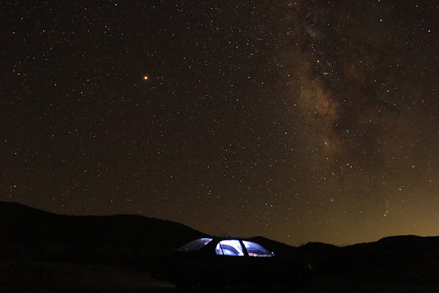
In addition to lying along the boundary between the North American and Pacific tectonic plates, Anza-Borrego Desert State Park occupies a large portion of the eastern Peninsular Ranges geomorphic province. It actually occurs in the boundary zone with the Colorado Desert Geomorphic Province. The two provinces interfinger with each other. The rocks from each province mutually overlap and mix as the boundary adjusts one way or the other. The mountains belong to the Peninsula Ranges Province, while the valleys belong to the other. The boundary is a collection of faults which are planes along which rocks on either side are shuffled. In the park, there has been much redistribution of rocks. Boundary adjustments are illustrated by progressive changes in activity along the various faults. This complexity is a side-effect of a more profound, much larger scale boundary between the two tectonic plates which grind past another at rate of ~35 mm/year.-- parks.ca.gov
Hike Date: 31 Aug 2018
Big thanks to California Department of Parks and Rec
Support our parks!
Find a California Regional, State and National Park
Remember to bring the Ten Essentials for Day Hiking
~~ CK


